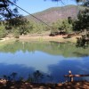
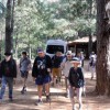
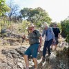
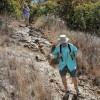
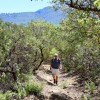
The Cieneguilla Trail is a single track through the woods which runs downhill from the lake and campsite of the same name to the town of San Agustin Etla, a distance of 3.9 miles (6.3 kms), losing 2441 feet in elevation (744 meters) along the way. Going downhill may sound easy, but the trail is steep and rocky in many places, which puts a lot of strain on knees and ankles. Hiking poles or a walking stick are a good idea for this outing. The highest point on the hike is 7844 feet (2391 meters) and the lowest elevation is 5966 feet (1818 meters). Time on the trail is estimated to be about 2.5 hours.
-
Archives
- December 2024
- November 2024
- September 2024
- June 2023
- November 2022
- September 2022
- August 2022
- July 2022
- February 2022
- October 2021
- May 2021
- January 2021
- March 2020
- October 2019
- May 2019
- May 2018
- April 2018
- March 2018
- July 2017
- May 2017
- November 2016
- September 2016
- May 2016
- October 2015
- May 2015
- April 2015
- March 2015
- September 2014
- June 2014
- May 2014
- March 2014
- September 2013
- May 2013
- March 2013
- February 2013
- January 2013
- December 2012
- November 2012
- October 2012
- September 2012
-
Meta

